Escape - Kudremukha Trek
11:35 AM
Kudremukha mountain range is in the Chikmaguluru district of Karnataka. The name Kudremukha refers to a particular picturesque view of a side of the mountain that resembles a horse's face. The Kudremukha national park is second largest declared wildlife protected are in the western ghats ranging from Dakshina Kannada to Chikmagaluru districts of Karnataka.
Preparation of the trek: This trek was planned well before a month by 7 of us. Tickets to the nearest town Kalasa was booked in Airawat bus. We had booked a local guy named Rajappa who takes care of food, accommodation and forest entry permisision. Jeep from Kalasa to Rajappa's house was also booked. We took Airawat bus to Kalasa from Majestic bus stand at 10:30 pm.
Trek day:
Bus had arrived Kalasa around 6 am and the jeep was waiting for us at the bus stop. Kalasa is a holy hobali town situated on the banks of Bhadra river. Kalasa has many lodges and restaurants incase you are planning to stay in Kalasa. Distance from Kalasa to Rajappa's house is around 30 kms out of which 20 km is a tar road and the rest is a rocky mud road which climbs the hills of the range. Rajappa's house is situated right below the the Kudremukha peak from where you start the trek. We reached Rajappa's house by 7:30 in the morning and a nice cup of Coffee made from homemade seeds. After getting freshen up, hot Ambode for breakfast was waiting for us. Its kind of idli but will be litlle hard and round in shape.
We started the trek around 9 o clock. Rajappa's nephew Arun was our guide. He was carrying Uppittu for our lunch and Rajappa's 2 dogs were following us. Trek to the peak is around 10 kms in distance and goes through vast shola grasslands and forests. You will find water streams every 2 kms till the top and as per Arun they will be flowing all 12 months. So, you need not worry about carrying lot of drinking water as these streams are pure natural water to drink. There is a well defined trail till the peak which can be followed and there are not to many diversion paths to get confused. In my opinion, you need not necessarily have a guide but its better to have one.
Our first pitstop was a lonely tree as you can see it in the picture this tree was a picturesque and my friends has started taking photos. We started again after taking rest for 5 minutes. The route was easy from here as we just had to walk amid dry grasslands. Every 1 km of walk you encounter a small forest and stream flowing in it. This repeats for most of the trek atleast till you cover half of the distance.
Our next pitstop was just down the hill near the lobo house. Lobo house is a an old house in ruins now. Arun said people used to stay there once upon a time and they had beetlenut farm.
Trek from here gets real as you have to climb pretty much steep hill. If you ask me, Kudremukha trek is all about climbing 3 difficult steep hills and rest is pure walk among the grasslands. This hill is the first steep hill but a short one.After climbing this hill everyone was tired and we stooped for quick drinks break cum photography session at another lonely tree. Lonely trees are markings for our navigation to know how much we have covered. This helps while climbing down as you know how much more you have to go.
We saw a group of Sarangs( Stags) here. This is the first time I have ever seen any animal during treks. But they ran away into the jungle as soon as they saw us coming.
As we continued our trek we encountered our second steep hill, this hill is about 100 meters long but inclined upto 60 degree climbing. After climbing this small hill there is a small forest and you can see a small stream of water flowing on the rocks. Arun said during rainy seasons its very difficult to cross this since rocks will be slippery and the current of water is very high.
After this, you can actually see the peak but the trail to the peak doesnt go in a straight path rather it goes in a zig-zag way making you trek for some more 4 kms even though the peak is very near. Here you will encounter the 3rd and the last steep climb which is about 500 meters long. Once you climb this hill you are almost at the top of the range but still lags around 1 km of walking distance.
On the peak there are ruins of a Bungalow. According to Arun it was built by British in early 19th century and the building is still strong. I was planning to visit it while climbing down but all plans shattered for the reason I will mention later in this blog. Almost at the peak we found a small tent made from plastic sacks, nicely built. Arun dismantled it saying they were not allowed to camp here and he made a flag out of it. We carried that flag to the top and hoisted it on the peak. Next time you visit there if you find a white flag, remember it was hoisted by us.
It was cloudy on the peak and we couldn't see anything down. It has happened with me many times before so I didnt have any big expectations. We had Uppittu and took rest. Then it was the time for Harlem shake and photography.
After spending almost an hour at the peak, Arun warned us that it might rain. We finished our photography in hurry and started climbing down. It was just 100 meters of climb down and the rain started pouring. Well, this was unexpected for us in March. We didnt carry any rain sheet. We kept all our mobiles, wallets and cameras in waterproof backpacks and decided to climb down in the rain as you can never guess when the rain will stop on the peak. We were literally running down shouting slogans 'Vande Mataram' 'Bolo bharat mata ki jai' etc just to boost us up in that literally shivering cold rain. This is how i missed to visit that British tourist bungalow. By the time we trekked half down, rain had stopped but we were not in a mood to stop anywhere. We trekked almost 9kms without even stopping once and took our first pitstop at the lonely tree. From here Rajappa's house is just 1 km and we covered that with almost no effort.
At Rajappa's house hot coffee was waiting for us and Arun had boiled water for taking bath. Whats more comfortable than taking bath in hot water after trekking in storm. Every one was waiting in queue to take bath and we relaxed till night.
WARNING:
Camping at the peak or anywhere inside the national park is strictly prohibited. We saw tiger litter on the peak, so please follow this advice, do not camp on the peak.
If you are trekking in summer then wear full pants( a formal pant will do, a track pant will be amazing). I was wearing shorts and dried up grass really turns itchy as you have to walk for a long distance amid grassland.
Heard from Arun that during Monsoon, even 2 hands are not enough to take out leaches from your body. So, do not plan to trek during mosnsoon.
Trekking details:
Base camp: Kalasa
Connectivity from Bangalore: Well connected by Govt buses( Airawat and Rajahamsa)
Journey hours: 6-7 hours in bus. Airawat bus reaches Kalasa at 6 in the morning.
Trekking distance: 9-10 kms
Trekking season:
October- January(advised)
You can also visit in the 1st week of June when the pre monsoon flourishes the grass and the place is covered in clouds.
Difficulty level:
Difficult for amateur trekkers.
Moderate for frequent trekkers.
Must carry:
Total trekking time:
Tips for photographers:
Trekking rules:
Preparation of the trek: This trek was planned well before a month by 7 of us. Tickets to the nearest town Kalasa was booked in Airawat bus. We had booked a local guy named Rajappa who takes care of food, accommodation and forest entry permisision. Jeep from Kalasa to Rajappa's house was also booked. We took Airawat bus to Kalasa from Majestic bus stand at 10:30 pm.
Trek day:
 |
| Rajappa's home |
We started the trek around 9 o clock. Rajappa's nephew Arun was our guide. He was carrying Uppittu for our lunch and Rajappa's 2 dogs were following us. Trek to the peak is around 10 kms in distance and goes through vast shola grasslands and forests. You will find water streams every 2 kms till the top and as per Arun they will be flowing all 12 months. So, you need not worry about carrying lot of drinking water as these streams are pure natural water to drink. There is a well defined trail till the peak which can be followed and there are not to many diversion paths to get confused. In my opinion, you need not necessarily have a guide but its better to have one.
 |
| Lonely tree, not sure of its real name but we named it lonely tree |
Our first pitstop was a lonely tree as you can see it in the picture this tree was a picturesque and my friends has started taking photos. We started again after taking rest for 5 minutes. The route was easy from here as we just had to walk amid dry grasslands. Every 1 km of walk you encounter a small forest and stream flowing in it. This repeats for most of the trek atleast till you cover half of the distance.
Our next pitstop was just down the hill near the lobo house. Lobo house is a an old house in ruins now. Arun said people used to stay there once upon a time and they had beetlenut farm.
 |
| Encounter of first forest and the small stream. |
 |
| Third pistop. |
We saw a group of Sarangs( Stags) here. This is the first time I have ever seen any animal during treks. But they ran away into the jungle as soon as they saw us coming.
 |
| View from the 3rd steep climb. |
After this, you can actually see the peak but the trail to the peak doesnt go in a straight path rather it goes in a zig-zag way making you trek for some more 4 kms even though the peak is very near. Here you will encounter the 3rd and the last steep climb which is about 500 meters long. Once you climb this hill you are almost at the top of the range but still lags around 1 km of walking distance.
 |
| Myself with the flag at the peak |
It was cloudy on the peak and we couldn't see anything down. It has happened with me many times before so I didnt have any big expectations. We had Uppittu and took rest. Then it was the time for Harlem shake and photography.
After spending almost an hour at the peak, Arun warned us that it might rain. We finished our photography in hurry and started climbing down. It was just 100 meters of climb down and the rain started pouring. Well, this was unexpected for us in March. We didnt carry any rain sheet. We kept all our mobiles, wallets and cameras in waterproof backpacks and decided to climb down in the rain as you can never guess when the rain will stop on the peak. We were literally running down shouting slogans 'Vande Mataram' 'Bolo bharat mata ki jai' etc just to boost us up in that literally shivering cold rain. This is how i missed to visit that British tourist bungalow. By the time we trekked half down, rain had stopped but we were not in a mood to stop anywhere. We trekked almost 9kms without even stopping once and took our first pitstop at the lonely tree. From here Rajappa's house is just 1 km and we covered that with almost no effort.
At Rajappa's house hot coffee was waiting for us and Arun had boiled water for taking bath. Whats more comfortable than taking bath in hot water after trekking in storm. Every one was waiting in queue to take bath and we relaxed till night.
WARNING:
Camping at the peak or anywhere inside the national park is strictly prohibited. We saw tiger litter on the peak, so please follow this advice, do not camp on the peak.
If you are trekking in summer then wear full pants( a formal pant will do, a track pant will be amazing). I was wearing shorts and dried up grass really turns itchy as you have to walk for a long distance amid grassland.
Heard from Arun that during Monsoon, even 2 hands are not enough to take out leaches from your body. So, do not plan to trek during mosnsoon.
Trekking details:
Base camp: Kalasa
Connectivity from Bangalore: Well connected by Govt buses( Airawat and Rajahamsa)
Journey hours: 6-7 hours in bus. Airawat bus reaches Kalasa at 6 in the morning.
Trekking distance: 9-10 kms
Trekking season:
October- January(advised)
You can also visit in the 1st week of June when the pre monsoon flourishes the grass and the place is covered in clouds.
Difficulty level:
Difficult for amateur trekkers.
Moderate for frequent trekkers.
Must carry:
- Tent, sleeping bag and mat. ( Not required if you are planning to stay at some local's house)
- Good trekking shoes.
- Water(1-2lts). You can find water streams on the hills all the time.
- Leech repellent if you are going before november( Iodex spray, salt). Leech socks are the best options.
- Proper winter wear if you are going after Nov. Temp stays low in winter.
- Flashlight, First aid kit, Knife, energy drinks and food items.
- Reserve your tickets in advance.
- Start trekking early in the morning, sooner the better.
- Stay with the crowd always.
- Woods in the forest will be wet till October sic rainfall is often in the region.
- Keep your backpack as light as possible. Dont carry too much of food.
Total trekking time:
- If you are a frequent trekker, you can reach the summit in 3:30 - 4:00 hours.
- for amateur trekkers it might take 5 hours.
Tips for photographers:
- Dont forget to capture the macro beauties of the jungle.
- View from the mountain gives a perfect landscape.
- Kudremukha is home to amazing wildlife especially birds and butterflies. I saw atleast 30 types of different birds and butterflies. You can see some of the birds below:
Trekking rules:
- Do not carry alcohol. Do not smoke in the jungle
- Do not throw anything during the trek. Keep the trekking place clean for the following trekkers.
Some important contact numbers:
- Rajappa (local guy at the foothill. He arranges everything from food, accommodation and forest entry permission) - 9481179008. His phone might be out of reach sometimes since network is not properly available at his house.
- Jeep driver from Kalasa: 9448817692
Cost:
Forest entry fees: 275 Rs per person.
Rajappa's fees: 600 Rs per person ( This includes day 1 breakfast, lunch, dinner, accommodation, day 2 breakfast)
Guide fees: 500 Rs
Jeep charge from Kalasa: 850 Rs
Overall cost of the trip from Bangalore: 2600 Rs. ( I would call it a luxurious trip )
Nearby attractions:
There is Somavathi falls right next to Rajappa's house incase you want to take bath the next day.
Hanumana gundi falls, about 30 kms from Rajappa's house.
Hornadu Annapooneshwari temple, 10 kms from Kalsa
P.S
Rajappa is a very friendly guy. You will feel homely at his place. He will provide you whatever you want from camp fire to naati koli for dry item during dinner if you tell him in advance :)
Happy Trekking :)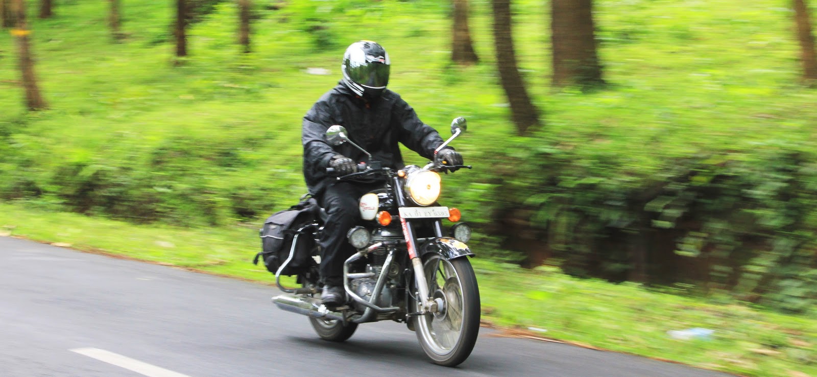


0 comments